Version History
Here you can find the changelog of ALTLAS: Trails, Maps & Hike since it was posted on our website on 2020-09-22.
The latest version is 5.0.8 and it was updated on soft112.com on 19 April, 2024.
See below the changes in each version:
version 5.0.8
posted on 2024-04-07
1. You now possess the flexibility to tailor your subscription type to precisely match your unique requirements.
2. Enhanced the user interface and color palette.
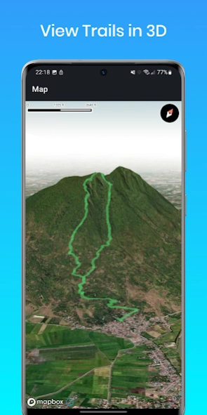
3. Rendering trail plans in 3D.
4. Historical trails now display visible points along the route.
5. Bug fixes.
version 5.0.7
posted on 2024-03-28
1. Bug fixes
2. General improvements
version 5.0.5
posted on 2024-03-22
Fixed a critical connection to our server issue, please update.
1. Improved readability with large letters screen - effortlessly customize metrics to your preference!
2. Added elevation profile for enhanced route planning.
3. Upgraded navigation utility.
4. Unveiled two premium maps - Streets and Outdoors.
5. Resolved bugs for a smoother experience.
6. Optimized user interface for a refined interaction.
version 5.0.3
posted on 2024-02-11
Bug fixes
Improved mapping
Improved UI
Encounter any issues or have suggestions? Connect with us at erol1apps@gmail.com – we value your feedback!
version 5.0.1.g
posted on 2024-02-11
Exciting news – a major update has just been rolled out for our app, bringing significant improvements across the board!
Faster performance with our new mapping system
Bug fixes
Improved mapping
Encounter any issues or have suggestions? Connect with us at erol1apps@gmail.com – we value your feedback!
version 4.5.0b
posted on 2024-01-21
1. Added map view to the History section.
2. Address bugs.
If you have any questions or suggestions, please feel free to contact us at erol1apps@gmail.com. We welcome your feedback and are always happy to hear from our users.
version 4.4.0.0g
posted on 2023-12-12
1. Added an option to link points of interest to the activity.
2. Address bugs
3. User interface improvements
4. General improvements
5. Fix for android 14 support
If you have any questions or suggestions, please feel free to contact us at erol1apps@gmail.com. We welcome your feedback and are always happy to hear from our users.
version 4.4.0.0b
posted on 2023-10-15
1. Added an option to link points of interest to the activity.
2. Address bugs
3. User interface improvements
4. General improvements
If you have any questions or suggestions, please feel free to contact us at erol1apps@gmail.com. We welcome your feedback and are always happy to hear from our users.
version 4.3.9.8g
posted on 2023-09-29
1. Added an option to link points of interest to the activity.
2. Address bugs
3. User interface improvements
If you have any questions or suggestions, please feel free to contact us at erol1apps@gmail.com. We welcome your feedback and are always happy to hear from our users.
version 4.3.9.7
posted on 2023-08-27
1. Address bugs
2. Enhance app performance and general improvements
3. A route sorting option was added
If you have any questions or suggestions, please feel free to contact us at erol1apps@gmail.com. We welcome your feedback and are always happy to hear from our users.
version 4.3.9.6
posted on 2023-08-27
1. Address bugs
2. Enhance app performance and general improvements
3. Fixed a crash when uploading an image
If you have any questions or suggestions, please feel free to contact us at erol1apps@gmail.com. We welcome your feedback and are always happy to hear from our users.
version 4.3.9.5b
posted on 2023-07-18
1. Display and language issues fixed
2. Enhance app performance and general improvements
3. Address bugs
If you have any questions or suggestions, please feel free to contact us at erol1apps@gmail.com. We welcome your feedback and are always happy to hear from our users.
version 4.3.9.4
posted on 2023-07-01
1. The trails search improved
2. Now you can filter trails by distance away
3. Enhance app performance and general improvements
4. Address bugs
If you have any questions or suggestions, please feel free to contact us at erol1apps@gmail.com. We welcome your feedback and are always happy to hear from our users.
version 4.3.9.2b
posted on 2023-06-22
1. Enhance app performance and general improvements
2. Address bugs
3. Trail notificaitons
4. Added option for account and trails deletion
5. Share activity by image
6. Small user interface changes
If you have any questions or suggestions, please feel free to contact us at erol1apps@gmail.com. We welcome your feedback and are always happy to hear from our users.
version 4.3.8.2
posted on 2023-05-14
1. Enhance app performance
2. Address bugs
3. Add a color picker for routes
4. Fix GPS location update halt during recording
5. Fine-tune the app for a better user experience
6. Introduce the horizontal compass feature
7. Resolve the elevation chart issue.
If you have any questions or suggestions, please feel free to contact us at erol1apps@gmail.com. We welcome your feedback and are always happy to hear from our users.
version 4.3.7g
posted on 2023-03-31
1. We have updated our privacy policy and have added a prompt to ensure that users are aware of the changes and can provide their consent before using the uploading image or routes.
Access the privacy policy by visiting https://tvaknin.github.io/privacy_policy.html
or settings menu within the app.
2. General app improvements
If you have any questions or suggestions, please feel free to contact us at erol1apps@gmail.com. We welcome your feedback and are always happy to hear from our users.
version 3.3.2
posted on 2022-05-20
3.3.2
1. Offline maps are available on the Pro plan!
2. General improvements
3. Minor bug fixes
3.3.1
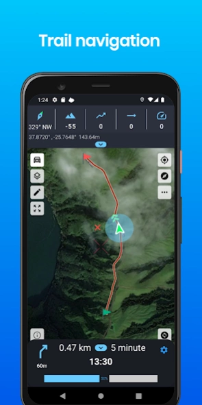
1. New feature! track navigation with alerts, estimated arrival time, navigation progress, and more!
2. General improvements
3. Bug fixes
4. Add the ability to record while the app is closed
5. Fix false navigation alarm
For any questions or suggestions, please contact us at erol1apps@gmail.com
version 3.3.1
posted on 2022-04-29
1. New feature! track navigation with alerts, estimated arrival time, navigation progress, and more!
2. General improvements
3. Bug fixes
4. Add the ability to record while the app is closed
5. Fix false navigation alarm
For any questions or suggestions, please contact us at erol1apps@gmail.com
version 3.3.0
posted on 2022-04-16
1. New feature! track navigation with alerts, estimated arrival time, navigation progress, and more!
2. Improving the overall performance
3. Bug fixes
4. Add the ability to record while the app is closed
For any questions or suggestions, please contact us at erol1apps@gmail.com
version 3.2.8.e
posted on 2022-04-04
1. Improving the overall performance
2. Bug fixes
3. Add the ability to record while the app is closed
4. Improve the search trails utility
For any questions or suggestions, please contact us at erol1apps@gmail.com
version 3.2.4
posted on 2022-03-18
1. Improving the overall performance
2. Bug fixes
3. Improved route search, now you can search by free text.
4. New enlarged map mode
5. Dark map - suitable for saving battery.
6. Compass improvement + new design!
7. New maps were added. Available for premium users!
8. Bug fixes and improvements
For any questions or suggestions, please contact us at erol1apps@gmail.com
version 3.2.1
posted on 2022-01-27
3.2.1
1. Small UI changes
2. Minor bug fixes
3. Reduce the app size
3.2.0
1. New feature! Weather forecast
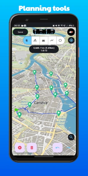
2. Route planning improved. now you can plan and save the route
3. Improve UI
4. Bug fixes
5. Improve the app performance
version 3.2.0
posted on 2022-01-27
1. New feature! Weather forecast
2. Route planning improved. now you can plan and save the route
3. Improve UI
4. Bug fixes
5. Improve the app performance
version 3.1.9
posted on 2022-01-01
1. Bug fixes
2. Change the default UI
3. Change the route colors when loading a GPX file
version 3.0.9
posted on 2021-12-07
3.0.9
1. Bug fixes
3.0.8
1. Set a distance weekly goal
2. Add and read comments and trails status
3. Auto pause/resume activity by movement
4. Reminder to end the activity
4. New notifications for weekly target
5. Summary for your history activities was added
6. UI improvement
7. Bug fixes
version 3.0.7
posted on 2021-11-20
1. Set a distance weekly goal
2. add and read comments and trails status
3. Auto pause/resume activity by movement
4. Reminder to end the activity
4. New notifications for weekly target
5. Summary for your history activities was added
6. UI improvement
7. bug fixes
version 3.0.4
posted on 2021-10-22
ALTLAS keeps improving with new updates!
3.0.4
1. bug fixes
3.0.3
1. Improve performance
2. Steps counter added
3. Fix crashes on a few devices
4. Bug fixes
5. A few UI changes
Please let us know of any issues at erol1apps@gmail.com
Enjoy!
ALTLAS
version 3.0.3
posted on 2021-10-18
ALTLAS keeps improving with new updates!
1. Improve performance
2. Steps counter added
3. Fix crashes on a few devices
4. Bug fixes
5. A few UI changes
Please let us know of any issues at erol1apps@gmail.com
Enjoy!
ALTLAS
version 3.0.1
posted on 2021-10-17
ALT-LAS keeps improving with new updates!
1. Massive user interface change
2. Improve performance
3. Bug fixes.
Please let us know what do you think about the new user interface at
erol1apps@gmail.com
Enjoy!
version 2.2.6
posted on 2021-09-18
1. Add map legend.
2. Add notifications - you can enable/disable on the app options.
3. Improve the trail exploring.
4. Minor bug fixes.
version 2.2.7
posted on 2021-09-18
ALT-LAS keeps improving with new updates!
This update includes the following:
1. A cross-center marker on the large map was added. Now you can measure distance quickly - Find it on the large map.
2. Download and save trails for offline use! (only for premium members).
3. New activity types were added: Walking, Trekking, Dog walking.
4. Enlarge pictures and fix picture rotations.
5. Dutch language support was added! Find it on the app settings.
6. Bug fixes.
version 2.2.5
posted on 2021-08-08
ALTLAS keeps improving!
1. Minor bug fixes.
2. Fix bug when of request GPS.
version 2.2.4
posted on 2021-07-18
ALTLAS keeps improving!
1. Bug fixes.
2. Improve performance.
version 2.2.3
posted on 2021-07-17
2.2.2
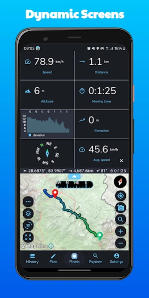
1. Now you can switch between Altitude/Speed views.
2. Add images to the trail search.
3. Fix bug of request GPS and more minor bug fixes.
4. Track when recording is smoother.
5. Improve performance.
version 2.2.2
posted on 2021-05-15
2.2.2
1. New feature! now you can share your live location.
2. Minor bug fixes.
2.2.1
1. Add more 5 new Map types for premium users.
2. Improve trails search info.
3. Bug fixes.
version 2.2.1
posted on 2021-04-06
2.2.1
1. Add more 5 new Map types for premium users.
2. Improve trails search info.
3. Bug fixes.
2.2.0
1. Add import/export activity to GPX file.
2. Improve explore trails.
3. minor bug fixes.
If you find some issues or have suggestions, please contact us via erol1apps@gmail.com
version 2.1.9
posted on 2021-03-08
1. Improve performance.
2. New feature - Routing: select points on the map and get the route between the two points.
3. Fix bug of setting Imperial units.
4. New map type added.
If you find some issues or have suggestions, please contact us at erol1apps@gmail.com
version 2.1.8
posted on 2021-03-01
1. Main user interface was changed.
2. New feature for subscription users: Routing: select points on the map and get the route between the two points.
3. Bug fixes for elevation gain.
4. New mode to get sensor information such as Barometer, temperature, humidity, altitude, and light.
5. Arabic language was added.
If you find some issues or have suggestions, please contact us at erol1apps@gmail.com
version 2.1.6
posted on 2021-02-17
1. New App widget a simple and easy-to-use outside the app!
2. Improve elevation gain accuracy.
3. Dark Mode - Now you can use the new dark more theme.
4. Premium users - now you can choose a satellite map.
5. New graph
6. Bug fixes.
version 2.1.1
posted on 2021-01-23
* Add user guide.
* Meet our new website altlas-app.com.
* We've changed the app's name to ALT-LAS, we hope you will like it!
* Small bug fixes.
version 2.0.8
posted on 2020-12-26
1. Improve search trails, now you can find trails better!
filter by Country, Distance, and Duration.
2. View trails together with recording are now enabled for better navigation.
3. Minor bug fixes.
version 2.0.7
posted on 2020-11-08
Bug-fix.
version 2.0.5
posted on 2020-10-30
1. Fix user interface issues.
2. Improve UI app settings.
3. Minor bug fixes.
version 2.0.4
posted on 2020-10-11
Release 2.0.4
Fix bug of altitude layout.
Release 2.0.2
1. Improve the design and user interface (dashboard, Compass, buttons, and more).
2. Improve app performance.
3. Now you can choose your activity types.
4. Add the option to choose trails accuracy for better performance and readability.
5. *Premium members* - now you can choose navigation icons.
6. Altitude record notifications.
version 2.0.3
posted on 2020-10-07
Release 2.0.3
Bug fixes
Release 2.0.2
1. Improve the design and user interface (dashboard, Compass, buttons, and more).
2. Improve app performance.
3. Now you can choose your activity types.
4. Add the option to choose trails accuracy for better performance and readability.
5. *Premium members* - now you can choose navigation icons.
6. Altitude record notifications.
version 2.0.2
posted on 2020-10-03
1. Improve the design and user interface (dashboard, Compass, buttons, and more).
2. Improve app performance.
3. Now you can choose your activity types.
4. Add the option to choose trails accuracy for better performance and readability.
5. *Premium members* - now you can choose navigation icons.
6. Altitude record notifications.
version 2.0.1
posted on 2020-09-15
1. Bugfix of the GPS tracking
2. Add new option under settings - keep the screen on